Impact 2022
Every year thermal IR is live-streamed to firefighters when our mesh radio-van is ordered. Super-zoom EO/IR gimbal (air or ground-operated) is live to unlimited phones/pads/PCs in 2-sec. In 2020 we upped single-hop range to over 140 miles.
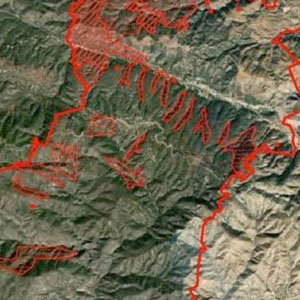
Each plane also has eight 5G FirstNet/Verizon sims & satellite, but the mesh does the heavy lifting of IR STANAG to ATAK, NIFC Geospatial Portal (EGP) and direct to phones/pads/PCs. Whole-fire mosaics and artificial intelligent (AI) heat polygons are also real-time. Instead of seeing only where an operator points cameras, ground crews pinch-zoom a current fire-wide hi-res gigapixel ortho themselves (thermal, color or NIR selectable) overlaid with 2-minute heat polygons.

23
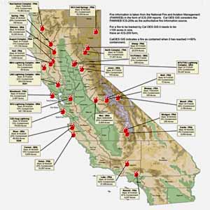
CALIFORNIA WILDFIRES MAPPED IN 2022

31,221,094
ACRES MAPPED IN 2022
