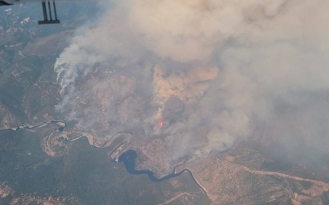
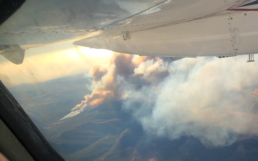
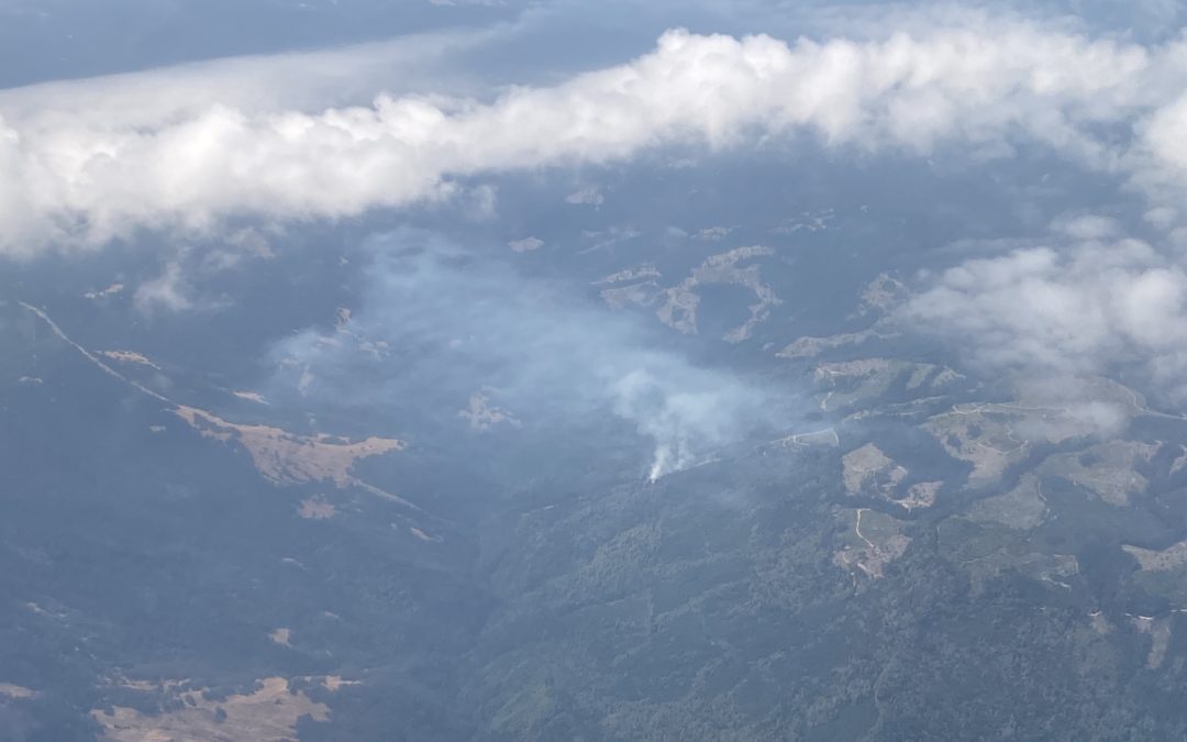
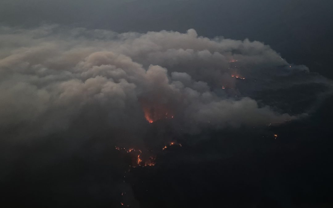
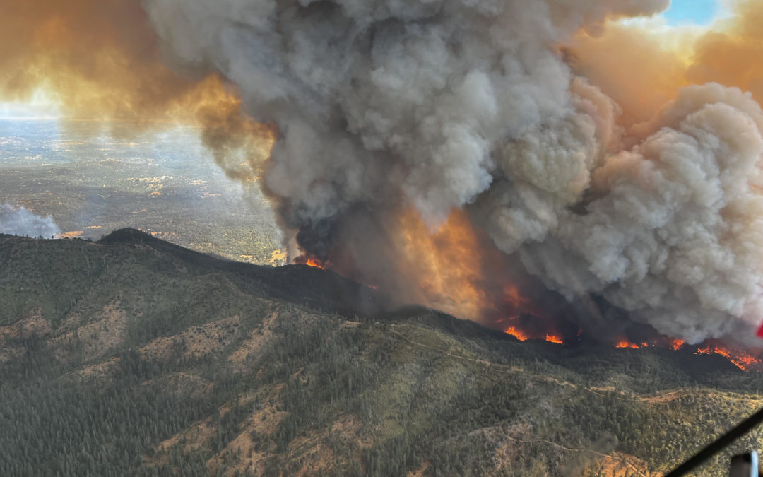
Blog

Sequoia Fire Team Briefing

Sequoia Fire Team Briefing

 SQF Team swap last night used our live aerial IR. A step-stare camera flying a NIROPS mission at 17500 transmitted live NADIR high-resolution LWIR & RGB and NIR on to the bottom of a big war-room screen and simultaneously showed AI fire polygons instantly as...

read more
The Bear-North column from 27,000′

The Bear-North column from 27,000′

The Bear-North column from 27,000 ft before collapsing and turning the next day into night. The smoke was too thick for long wave infrared and fire growth was about 5 mph. In the morning we were called out of bed to go underneath and map. ATT/FirstNet beam form...

read more
Mapping Streaming with a Gimbal

Mapping Streaming with a Gimbal

2019-2020 FIRIS program mapped Initial attack (IA) fires in SoCal within 5 minutes of aircraft arrival and every 15 minutes until released. Courtney Aviation’s mapped with Tase 200 Gimbal by using geolocated photos in google earth this method enabled the quick...

read more