AERO FIRE INTELLIGENCE BLOG
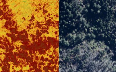
Analyzing Burned Vegetation?
Recently we've been mapping burned vegetation now that the smoke has cleared. Our daytime flights have been one of the first times large fires have been regularly imaged during the day. NIROPS and others mostly fly at night, but our high resolution 16-bit depth...
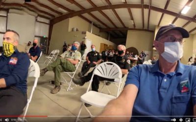
Sequoia Fire Team Briefing
SQF Team swap last night used our live aerial IR. A step-stare camera flying a NIROPS mission at 17500 transmitted live NADIR high-resolution LWIR & RGB and NIR on to the bottom of a big war-room screen and simultaneously showed AI fire polygons instantly as...
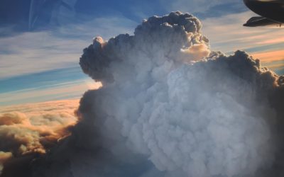
The Bear-North column from 27,000′
The Bear-North column from 27,000 ft before collapsing and turning the next day into night. The smoke was too thick for long wave infrared and fire growth was about 5 mph. In the morning we were called out of bed to go underneath and map. ATT/FirstNet beam form...
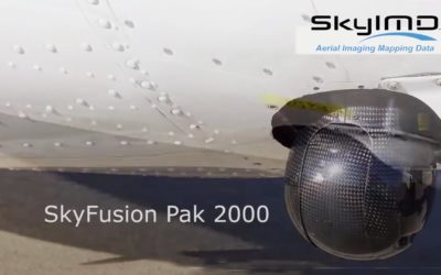
Mapping Streaming with a Gimbal
2019-2020 FIRIS program mapped Initial attack (IA) fires in SoCal within 5 minutes of aircraft arrival and every 15 minutes until released. Courtney Aviation’s mapped with Tase 200 Gimbal by using geolocated photos in google earth this method enabled the quick...
Contact Courtney Aviation
We are based in Columbia, California, northwest of Yosemite National Park. Please call or email us with your questions, or to connect with one of our staff.
Courtney Aviation
10000 Technology Dr
Columbia, CA 95310